Lands End to GG Bridge: Lands End to GG Bridge
0 Attendees

Saturday, 24 Oct 2026, 1:00 PM – 5:00 PM
Difficulty: Moderate, Park Name: Lands End to GG Bridge, Location: 2008 Merrie Way, San Francisco, CA 94121, United States, Trail: Lands End to GG Bridge, Ascent: 1381 Feet, Total Distance: 9.19 Miles, Estimated Hike Time: 4.8 Hours
Learn More

Saturday, 24 Oct 2026, 1:00 PM – 5:30 PM
Difficulty: , Park Name: Bear Creek Redwoods, Location: Alma College Rd, Los Gatos, CA 95033, United States, Trail: Walk Near Parking Lot, Ascent: 4 Feet, Total Distance: 0.12 Miles, Estimated Hike Time: 0.4 Hours
Learn More
Saturday, 24 Oct 2026, 1:00 PM – 5:30 PM
Difficulty: , Park Name: Bear Creek Redwoods, Location: Alma College Rd, Los Gatos, CA 95033, United States, Trail: Walk Near Parking Lot, Ascent: 4 Feet, Total Distance: 0.12 Miles, Estimated Hike Time: 0.4 Hours
Learn More
Mount Diablo and North Peak: 7.7 Miles
0 Attendees
Saturday, 24 Oct 2026, 1:00 PM – 5:30 PM
Difficulty: , Park Name: Mount Diablo and North Peak, Location: , Trail: 7.7 Miles, Ascent: Feet, Total Distance: Miles, Estimated Hike Time: Hours
Learn More
Alum Rock Park: 9.9 Miles from AllTrails GPX
0 Attendees
Wednesday, 28 Oct 2026, 1:00 PM – 6:00 PM
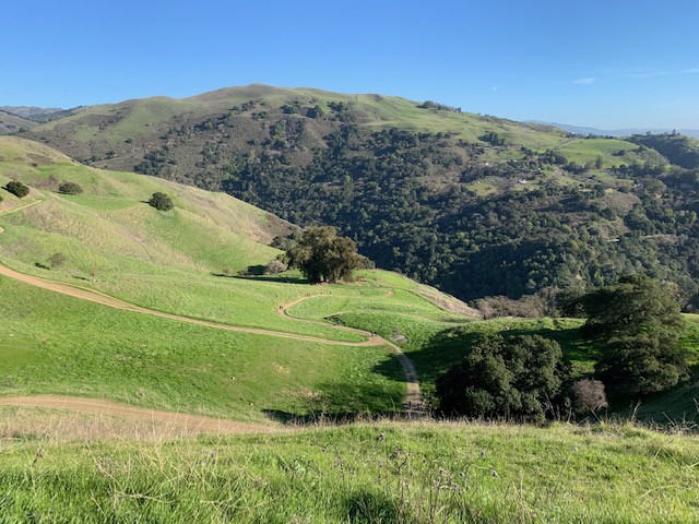
Difficulty: Challenging, Park Name: Alum Rock Park, Location: Alum Rock Falls Rd, San Jose, CA 95127, United States, Trail: 9.9 Miles from AllTrails GPX, Ascent: 2603 Feet, Total Distance: 10.01 Miles, Estimated Hike Time: 5.2 Hours
Learn More

Saturday, 31 Oct 2026, 8:30 AM – 5:30 AM
Difficulty: , Park Name: Bear Creek Redwoods, Location: Alma College Rd, Los Gatos, CA 95033, United States, Trail: Walk Near Parking Lot, Ascent: 4 Feet, Total Distance: 0.12 Miles, Estimated Hike Time: 0.4 Hours
Learn More
Bear Creek Redwoods: 5.4 Miles
0 Attendees
Friday, 13 Nov 2026, 3:30 PM – 7:30 PM
Difficulty: Moderate, Park Name: Bear Creek Redwoods, Location: Bear Creek Rd, Los Gatos, CA 95033, United States, Trail: 5.4 Miles, Ascent: 1259 Feet, Total Distance: 5.47 Miles, Estimated Hike Time: 2.9 Hours
Learn More
Bear Creek Redwoods: Walk Near Parking Lot
0 Attendees
Friday, 20 Nov 2026, 1:00 PM – 2:00 PM
Difficulty: Very Easy, Park Name: Bear Creek Redwoods, Location: Alma College Rd, Los Gatos, CA 95033, United States, Trail: Walk Near Parking Lot, Ascent: 4 Feet, Total Distance: 0.12 Miles, Estimated Hike Time: 0.4 Hours
Learn More
Briones: Sindicich Lagoons Loop (demo)
0 Attendees

Saturday, 06 Mar 2027, 9:00 AM – 12:30 PM
Difficulty: Moderate, Park Name: Briones, Location: 5361 Alhambra Valley Rd, Martinez, CA 94553-9605, United States, Trail: Sindicich Lagoons Loop (demo), Ascent: 1441 Feet, Total Distance: 6.66 Miles, Estimated Hike Time: 3.5 Hours
Learn More
Briones: Sindicich Lagoons Loop (demo)
0 Attendees
Saturday, 13 Mar 2027, 9:00 AM – 12:30 PM
Difficulty: Moderate, Park Name: Briones, Location: 5361 Alhambra Valley Rd, Martinez, CA 94553-9605, United States, Trail: Sindicich Lagoons Loop (demo), Ascent: 1441 Feet, Total Distance: 6.66 Miles, Estimated Hike Time: 3.5 Hours
Learn More
Briones: Sindicich Lagoons Loop (demo)
0 Attendees
Saturday, 20 Mar 2027, 9:00 AM – 12:30 PM
Difficulty: Moderate, Park Name: Briones, Location: 5361 Alhambra Valley Rd, Martinez, CA 94553-9605, United States, Trail: Sindicich Lagoons Loop (demo), Ascent: 1441 Feet, Total Distance: 6.66 Miles, Estimated Hike Time: 3.5 Hours
Learn More
Briones: Sindicich Lagoons Loop (demo)
0 Attendees
Saturday, 27 Mar 2027, 9:00 AM – 12:30 PM
Difficulty: Moderate, Park Name: Briones, Location: 5361 Alhambra Valley Rd, Martinez, CA 94553-9605, United States, Trail: Sindicich Lagoons Loop (demo), Ascent: 1441 Feet, Total Distance: 6.66 Miles, Estimated Hike Time: 3.5 Hours
Learn More
Briones: Lafayette Ridge (demo)
0 Attendees
Saturday, 01 May 2027, 9:00 AM – 4:00 PM
Difficulty: Difficult, Park Name: Briones, Location: 1540 Rancho View Dr, Lafayette, CA 94549-2232, United States, Trail: Lafayette Ridge (demo), Ascent: 3163 Feet, Total Distance: 13.44 Miles, Estimated Hike Time: 6.8 Hours
Learn More
Briones: Lafayette Ridge (demo)
0 Attendees
Saturday, 08 May 2027, 9:00 AM – 4:00 PM
Difficulty: Difficult, Park Name: Briones, Location: 1540 Rancho View Dr, Lafayette, CA 94549-2232, United States, Trail: Lafayette Ridge (demo), Ascent: 3163 Feet, Total Distance: 13.44 Miles, Estimated Hike Time: 6.8 Hours
Learn More
Briones: Lafayette Ridge (demo)
0 Attendees
Saturday, 15 May 2027, 9:00 AM – 4:00 PM
Difficulty: Difficult, Park Name: Briones, Location: 1540 Rancho View Dr, Lafayette, CA 94549-2232, United States, Trail: Lafayette Ridge (demo), Ascent: 3163 Feet, Total Distance: 13.44 Miles, Estimated Hike Time: 6.8 Hours
Learn More
Briones: Lafayette Ridge (demo)
0 Attendees
Saturday, 22 May 2027, 9:00 AM – 4:00 PM
Difficulty: Difficult, Park Name: Briones, Location: 1540 Rancho View Dr, Lafayette, CA 94549-2232, United States, Trail: Lafayette Ridge (demo), Ascent: 3163 Feet, Total Distance: 13.44 Miles, Estimated Hike Time: 6.8 Hours
Learn More
Briones: Lafayette Ridge (demo)
0 Attendees
Saturday, 29 May 2027, 9:00 AM – 4:00 PM
Difficulty: Difficult, Park Name: Briones, Location: 1540 Rancho View Dr, Lafayette, CA 94549-2232, United States, Trail: Lafayette Ridge (demo), Ascent: 3163 Feet, Total Distance: 13.44 Miles, Estimated Hike Time: 6.8 Hours
Learn More
Demo Stadium: Sample Game Day (demo) Carpool only
2 Attendees
Saturday, 05 Jun 2027, 1:00 PM – 5:00 PM
Destination: 4900 Marie P DeBartolo Way, Santa Clara, CA 95054
Learn More
Demo Stadium: Sample Game Day (demo) Carpool only
1 Attendee
Saturday, 12 Jun 2027, 1:00 PM – 5:00 PM
Destination: 4900 Marie P DeBartolo Way, Santa Clara, CA 95054
Learn More
Demo Stadium: Sample Game Day (demo) Carpool only
1 Attendee
Saturday, 19 Jun 2027, 1:00 PM – 5:00 PM
Destination: 4900 Marie P DeBartolo Way, Santa Clara, CA 95054
Learn More
Alum Rock Park: North and South Rims 9.9 Miles
0 Attendees
Wednesday, 21 Oct 2026, 12:00 PM – 5:15 PM
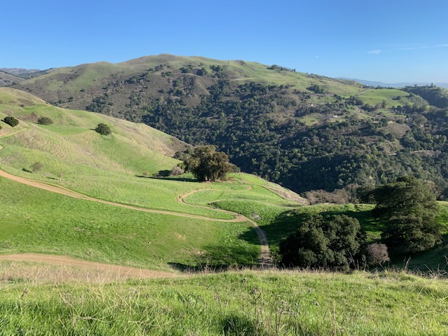
Difficulty: Challenging, Park Name: Alum Rock Park, Location: Alum Rock Falls Rd, San Jose, CA 95127, United States, Trail: North and South Rims 9.9 Miles, Ascent: 2508 Feet, Total Distance: 10 Miles, Estimated Hike Time: 5.2 Hours
Learn More
Alum Rock Park: 9.9 Miles from AllTrails GPX
0 Attendees
Wednesday, 21 Oct 2026, 12:00 PM – 4:45 PM
Difficulty: Challenging, Park Name: Alum Rock Park, Location: Alum Rock Falls Rd, San Jose, CA 95127, United States, Trail: 9.9 Miles from AllTrails GPX, Ascent: 2363 Feet, Total Distance: 8.96 Miles, Estimated Hike Time: 4.6 Hours
Learn More
Mount Whitney: Whitney Portal to the Summit (demo)
0 Attendees

Wednesday, 21 Oct 2026, 7:15 AM – 5:45 PM
Difficulty: Extreme, Park Name: Mount Whitney, Location: Mount Whitney, Lone Pine, CA 93545, United States, Trail: Whitney Portal to the Summit (demo), Ascent: 7765 Feet, Total Distance: 20.96 Miles, Estimated Hike Time: 10.3 Hours
Learn More
San Jose: Evening Walk
0 Attendees
Monday, 19 Oct 2026, 3:30 PM – 4:30 PM
Difficulty: Very Easy, Park Name: San Jose, Location: Coyote Rd, San Jose, CA 95111, United States, Trail: Evening Walk, Ascent: 94 Feet, Total Distance: 1.16 Miles, Estimated Hike Time: 0.9 Hours
Learn More
San Jose: Evening Walk
0 Attendees
Monday, 19 Oct 2026, 3:30 PM – 5:00 PM
Difficulty: Very Easy, Park Name: San Jose, Location: Coyote Rd, San Jose, CA 95111, United States, Trail: Evening Walk, Ascent: 94 Feet, Total Distance: 1.16 Miles, Estimated Hike Time: 0.9 Hours
Learn More
San Jose: Evening Walk
0 Attendees
Monday, 19 Oct 2026, 3:30 PM – 5:00 PM
Difficulty: Very Easy, Park Name: San Jose, Location: Coyote Rd, San Jose, CA 95111, United States, Trail: Evening Walk, Ascent: 94 Feet, Total Distance: 1.16 Miles, Estimated Hike Time: 0.9 Hours
Learn More
San Jose: Evening Walk 2
0 Attendees
Monday, 19 Oct 2026, 3:30 PM – 5:00 PM
Difficulty: Very Easy, Park Name: San Jose, Location: Coyote Rd, San Jose, CA 95111, United States, Trail: Evening Walk 2, Ascent: 119 Feet, Total Distance: 2.31 Miles, Estimated Hike Time: 1.5 Hours
Learn More
Sunday, 18 Oct 2026, 1:00 PM – 5:00 PM
Difficulty: , Park Name: Bear Creek Redwoods, Location: Alma College Rd, Los Gatos, CA 95033, United States, Trail: Walk Near Parking Lot, Ascent: 4 Feet, Total Distance: 0.12 Miles, Estimated Hike Time: 0.4 Hours
Learn More
Demo Campground: Sample Camping Trip
6 Attendees
Saturday, 17 Oct 2026, 10:00 AM – 2:00 PM
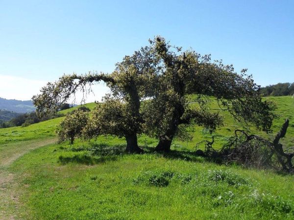
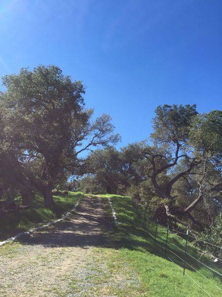
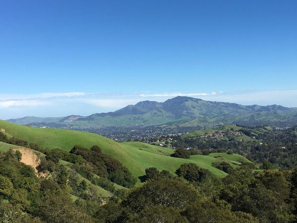
Difficulty: Moderate, Park Name: Demo Campground, Location: Briones Rd, Lafayette, CA 94549, United States, Trail: Sample Camping Trip, Ascent: 1703 Feet, Total Distance: 7.41 Miles, Estimated Hike Time: 3.9 Hours
Learn More
Demo Stadium: Sample Game Day (demo)4 Carpool only
1 Attendee
Saturday, 10 Oct 2026, 12:00 PM – 3:00 PM
Destination: 4900 Marie P DeBartolo Way, Santa Clara, CA 95054
Learn More